By Jordan Shields
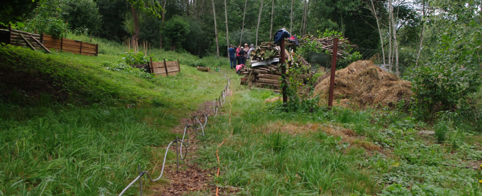
The focus of this week was our trip to Dr. Martin Sanda’s weekend house in Zaksin. Monday and Tuesday were spent doing desk work and getting equipment in order for our field trip to use electrical resistivity tomography (ERT). On Wednesday, we met and took a bus to Duba, Czech Republic, which is about an hour north of Prague.
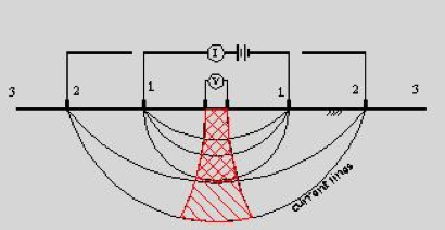
The ERT works by having a current sent through two electrodes with two more electrodes, located between the sending units, receiving the current. A multiplexor takes the signal sent through the cable and interprets the resistivity of the subsurface. The example below shows the numbered electrodes sending and receiving current. For longer profiles, the electrodes are spaced five meters apart. This gives a deeper profile and is faster to cover a longer profile, but gives lower resolution. For a shallower, higher resolution profile, the electrodes can be spaced one meter apart.
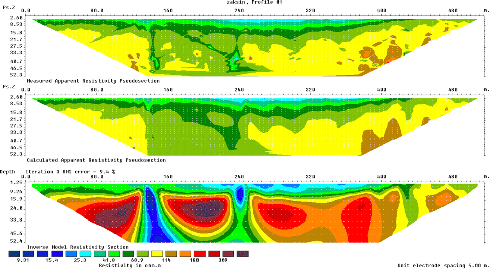
We spent Wednesday doing a larger ERT profile with less resolution, but a deeper reading. We ran the cable and electrodes along the road for a span of about 510 meters. The profile generated is shown below. Along the road, there are two areas that are next to a wetland and a river, which can be seen at around 130 meters and 240 meters.
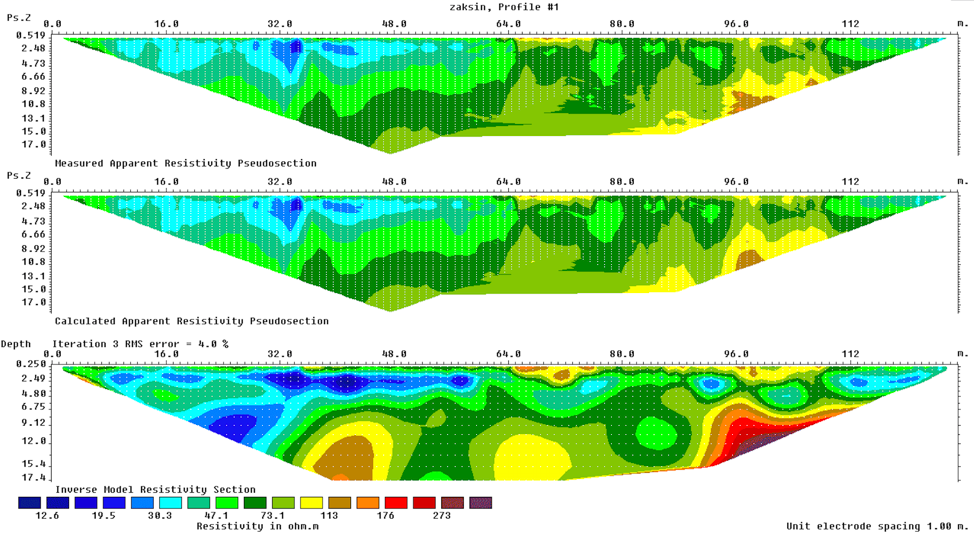
Over the next two days, we did two more profiles with one meter electrode spacing for a finer resolution. One of these profiles was along the same road from Wednesday and the other profile went through the garden (profile shown below). As you can see, the depth for the one meter electrode spacing is 17.4 meters compared to the deeper 52.4 meter depth of the five meter electrode spacing.